The reconstructed Cahokia Woodhenge is a series of large timber circles where the Cohokia Mounds Museum Society gives explanations of the discovery and function of the ancient calendar. Image courtesy of the Cohokia Mounds Museum Society.
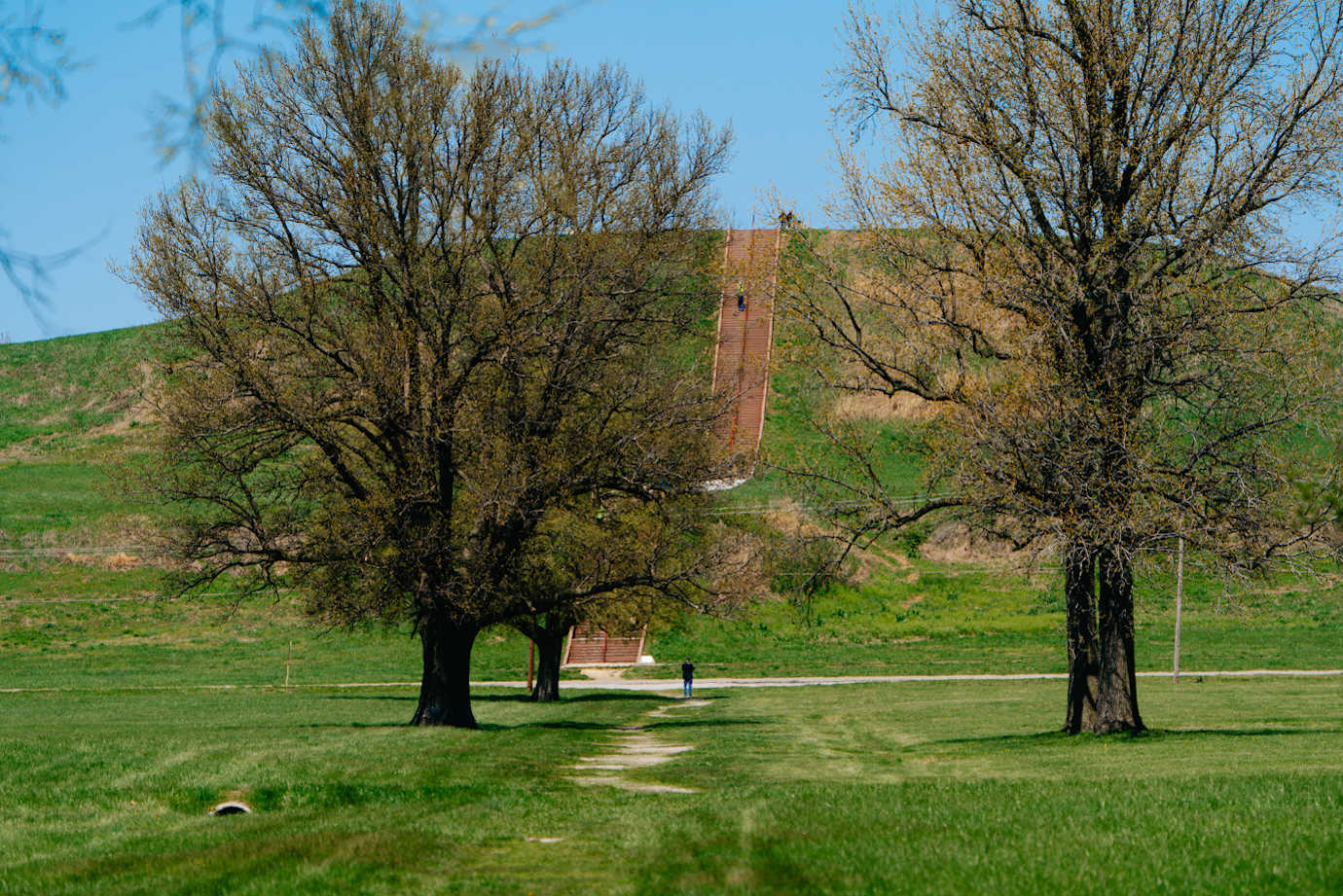
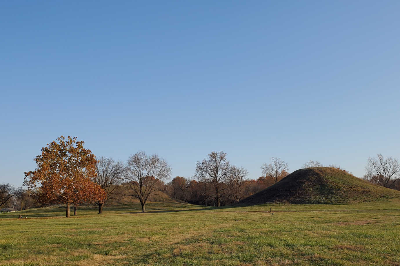
The Cahokia Mounds State Historic Site is home to the archaeological remnants of the largest pre-Columbian Native American city north of Mexico. It was a religious, political, economic, and cultural center built by the Mississippians—the name given to the group sharing cultural characteristics as there is no record of their language. Today, the 2200-acre UNESCO World Heritage Site and US National Historic Landmark includes a museum and many of the remaining Mississippian mounds, one of which at 100-foot tall and 14 acres around the base is the largest mound construction in the United States. With NEH support, the Cahokia Mounds Museum Society, the historic site’s non-profit partner, developed a mobile augmented reality (AR) application, accompanying website, and educational resources to guide visitors through the site, educate the public about the area’s significance, and support classroom teaching about the ancient civilization.
Read More
Monks Mound is the largest mound construction in the United States. Image courtesy of Cahokia Mounds Museum Society.
Monks Mound photographed from the the Grand Plaza. Image courtesy of the Cahokia Mounds Museum Society.
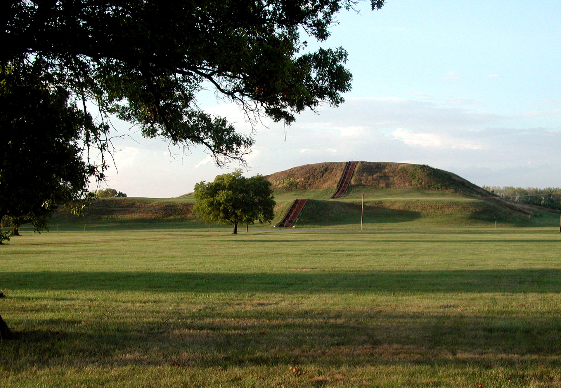
The twin mounds at Cahokia Mounds State Historic Site. Image courtesy of Cahokia Mounds Museum Society.
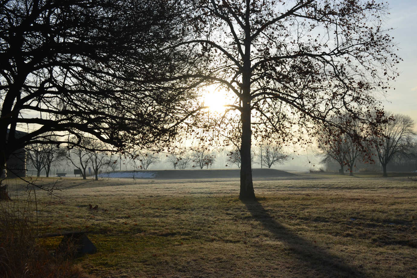
A view of the mounds at sunrise. Image courtesy of the Cahokia Mounds Museum Society.
With the NEH-funded AR application, visitors to the Cahokia Mounds can use their smartphones or tablets to see features of the site as it was between approximately 900AD and 1250AD, when around 10,000 to 20,000 Mississippians lived there. Augmented reality allows users to stand on top of the 100-foot tall mound and see what the city would have looked like or walk into the virtually recreated living quarters of a Mississippian family. Videos embedded in the application that were developed in partnership with Indigenous people from the area and throughout the U.S. allow deeper exploration of the latest research on the settlement.
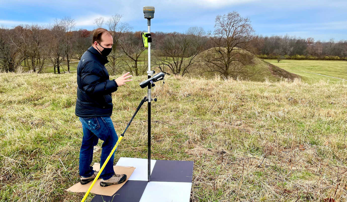
Staff checking coordinates for the AR application. Image courtesy of the Cahokia Mounds Museum Society.
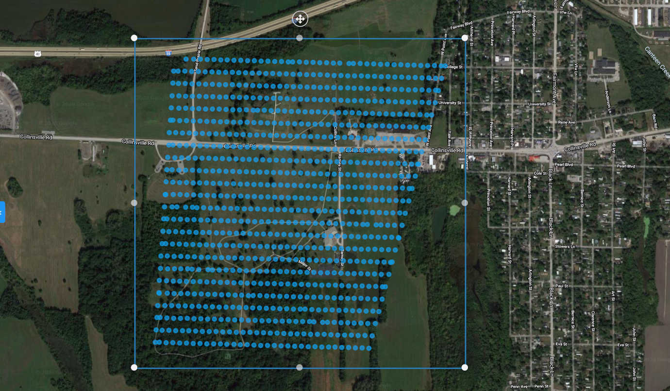
A drone mapping over the Cahokia Mounds as developers prepare the AR application. Image courtesy of the Cahokia Mounds Museum Society.
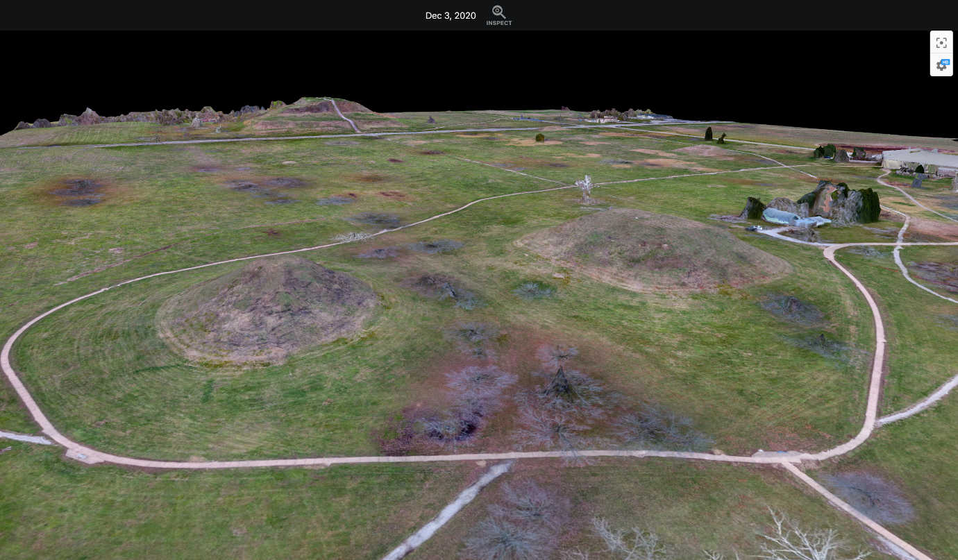
A 3D model of the Cahokia Mounds from drone footage preparing the AR application. Image courtesy of Cahokia Mounds Museum Society.
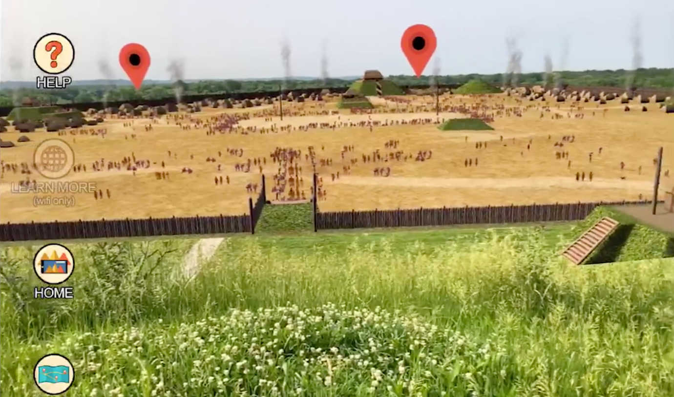
A prototype of the AR application in development. Image courtesy of Cahokia Mounds Museum Society.
The nature of an archaeological site makes it difficult to visualize the landscape as it was 1,100 years ago. New technologies can increase visitor experience and impact interpretive learning for over 260,000 annual visitors. The launch of the application and its accompanying website and educational resources enhances on-site experiences and supports education on the ancient civilization. The Cahokia Mounds Museum Society also plans a film documentary of how they developed the digital experiences to inspire augmented reality experiences of more historic sites and promote tourism to and education exploring the area.